
 On Saturday, October 2nd, come and try out the first new orienteering map of Bird Valley made since 1994! This will be a team event, you must be in a team of at least two people to go out on a course. You can either organize a team beforehand or team up with someone at the start that morning.
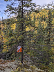
- Short course: A 5.6 km course with 11 controls will give participants a great introduction to Bird Valley without as much brush as the long course. Most controls can be reached with short forays off the valley’s ATV trails.
- Long course: A 7.1 km course with 14 controls will give expert orienteers a full Bird Valley experience. Expect areas of heavier brush (the worst is avoided), several long legs, and one precarious crossing of Penguin Creek using downed trees. Please avoid private property on the southern part of the course.
Bird Valley is infamous for bear activity well into the autumn. Each team must carry at least two bear sprays. Pack a small trauma/emergency kit for this adventure-O. Expect to see ATVs (and possibly bikes and horses) on the trails!
Starts are scheduled every 3 minutes beginning at 10 a.m and ending at 11 a.m.. Sign up for a start on this Google Document. Both courses begin and end at the main Bird Valley trailhead, located at the end of Konikson Road.
Find the trailhead:
Google Maps Plus Code: XHF8+HJ
What3Words: congested.fires.organisms
Latitude/Longitude: 60°58’26.28”N, 149°26’1.41”W or 60.973967°,-149.433726
UTM Zone 6 368283.16m E, 6762334.25m N